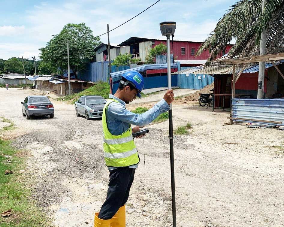
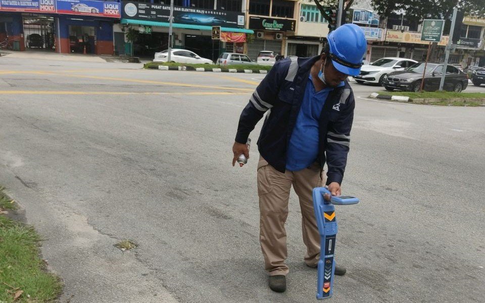
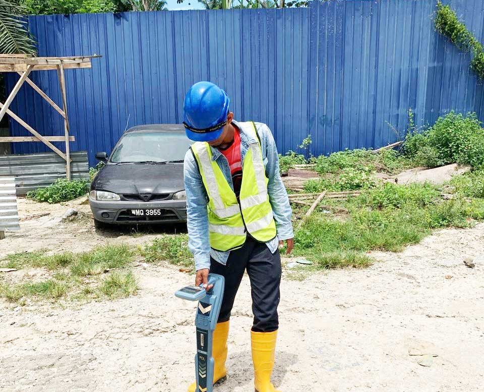
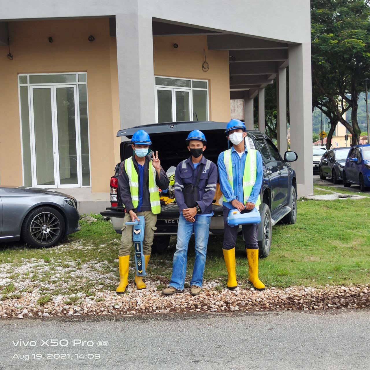
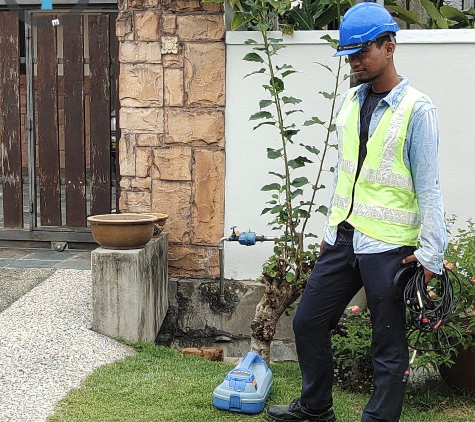
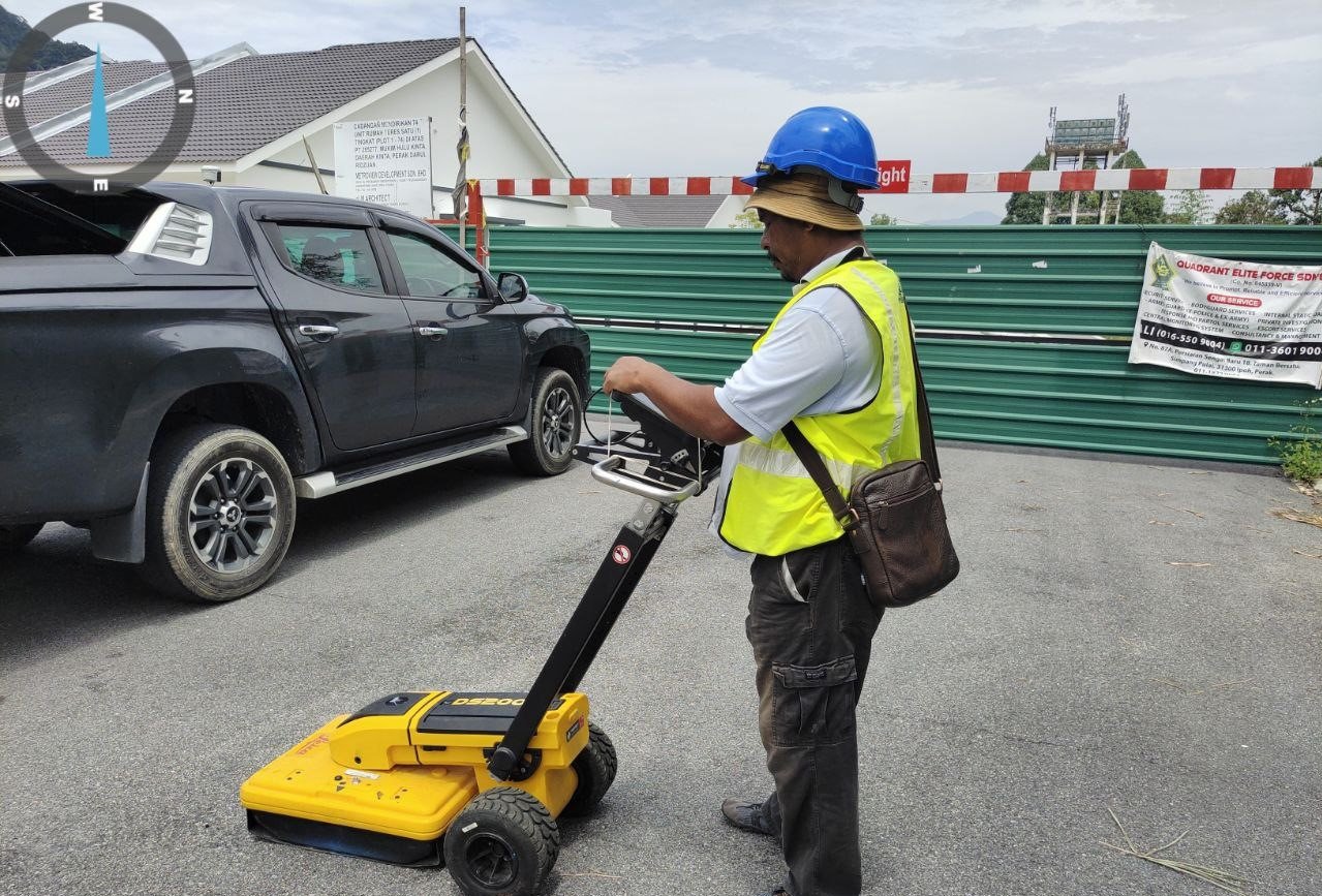
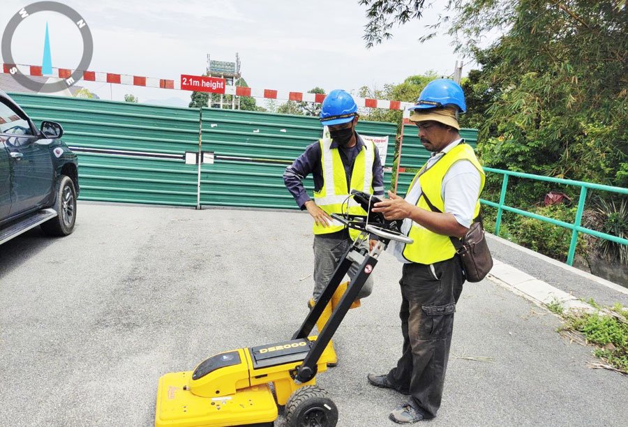
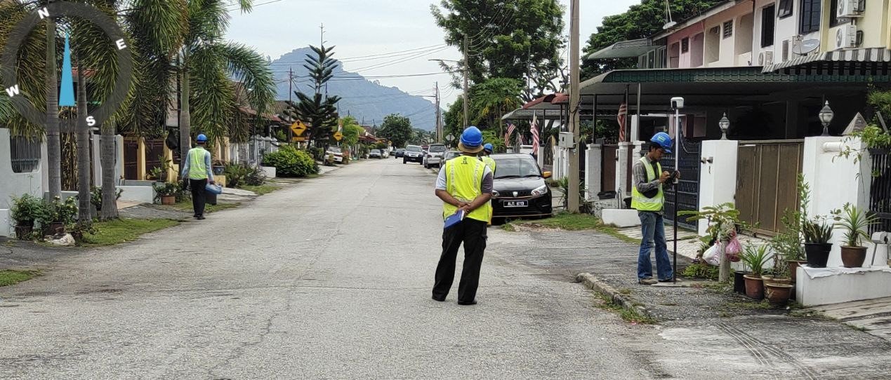
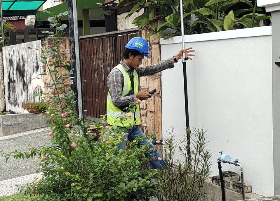
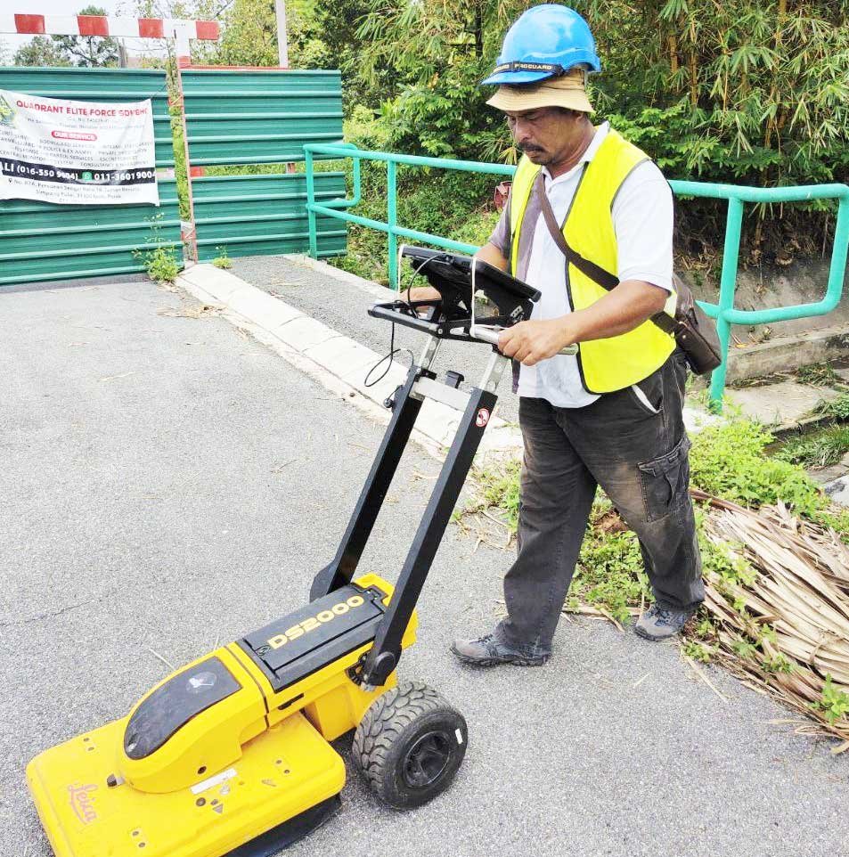
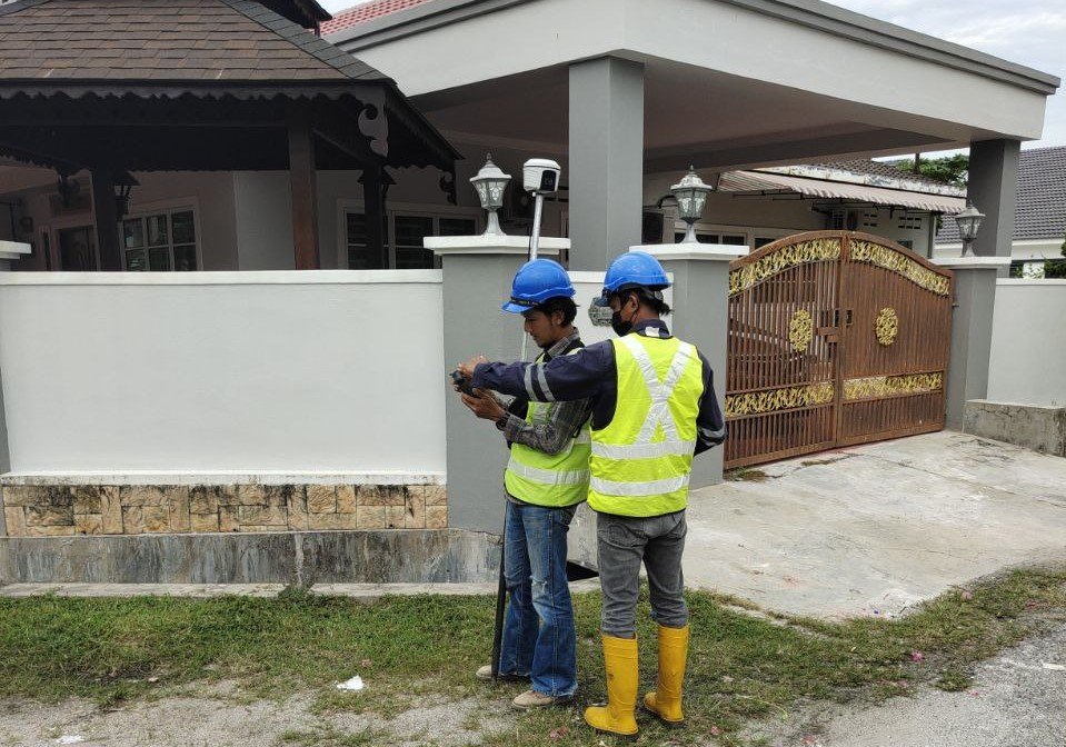
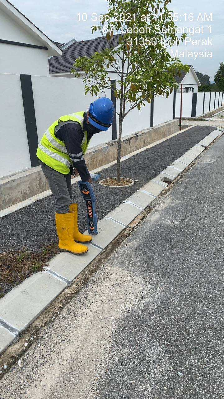
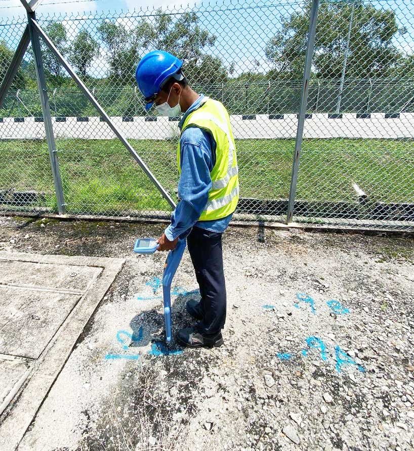
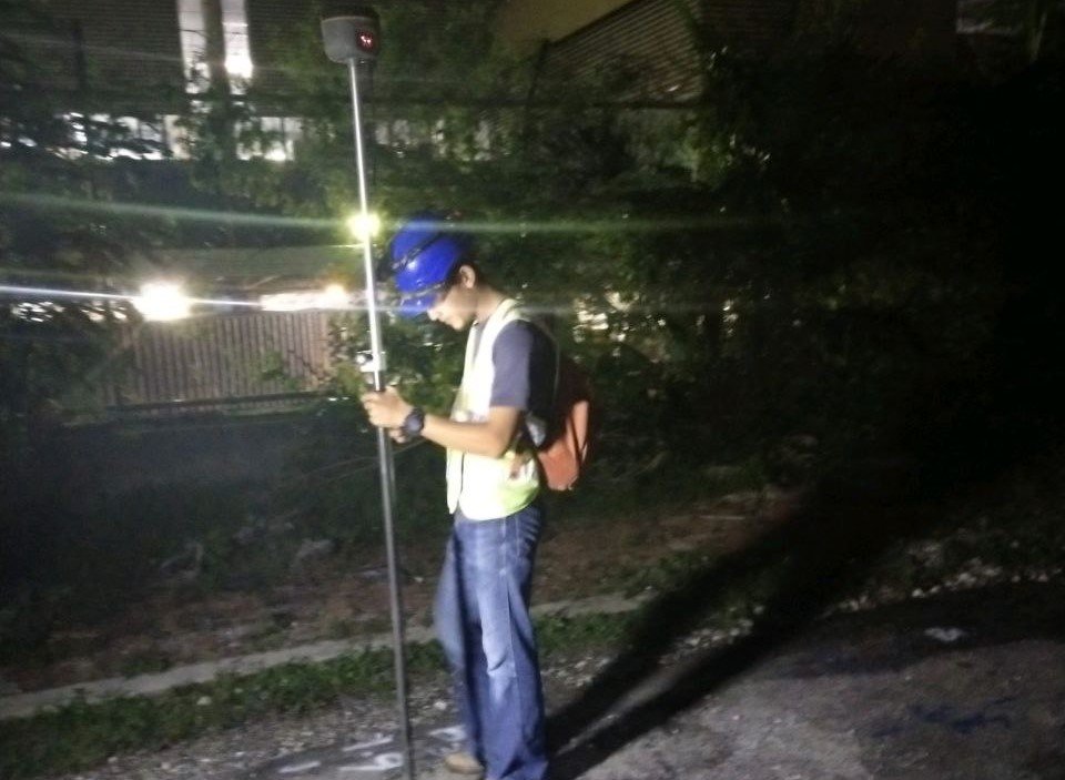
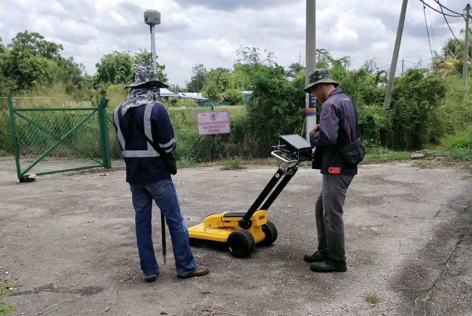
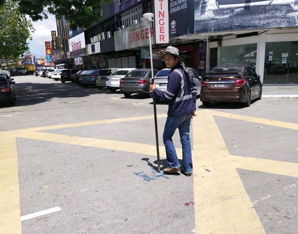
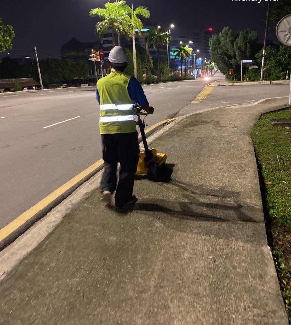
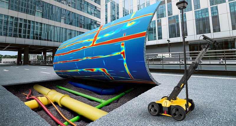
Visual documentation of underground utility mapping, site investigation and geospatial survey works delivered with accuracy, safety and technical discipline.
Selected project images showing field activities, mapping workflow, equipment usage and utility mapping documentation by Jurukur Teras.