Drone Survey & Geospatial Intelligence
Aerial Mapping Gallery
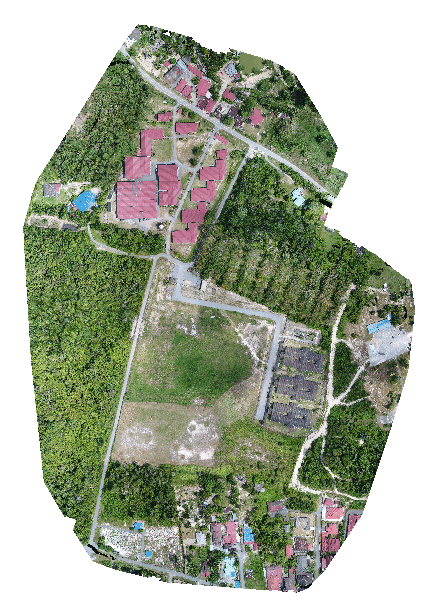
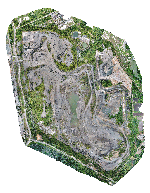
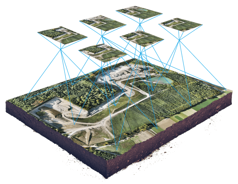
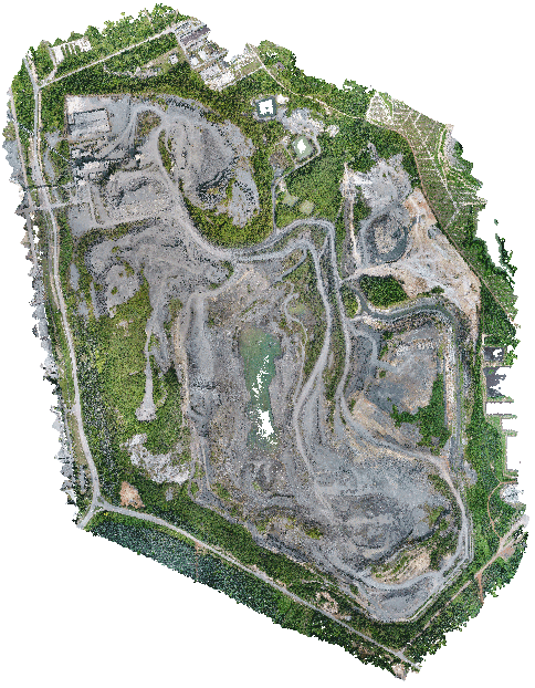
High-resolution aerial imagery for mapping, project progress, terrain analysis and professional geospatial presentation by Jurukur Teras.
Precision from above
Orthophoto · Mapping · Site intelligence · Visual documentation
14+
Aerial visuals showcased
4K
Survey-ready visual quality
360°
Site overview perspective
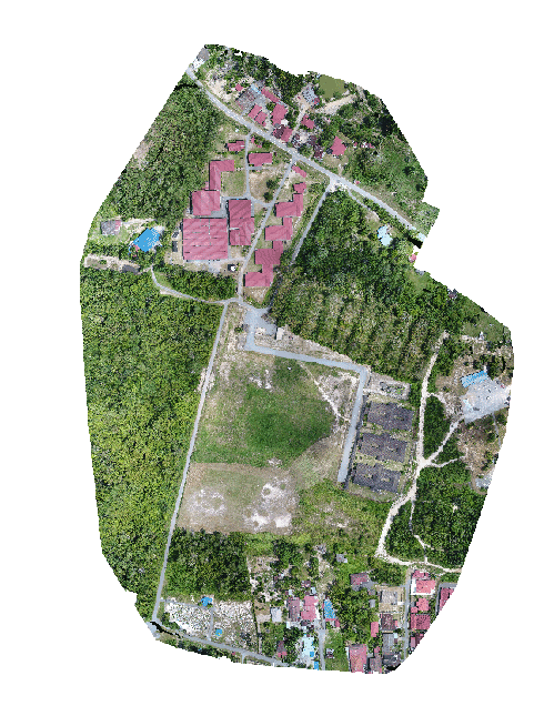
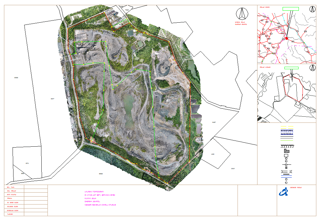
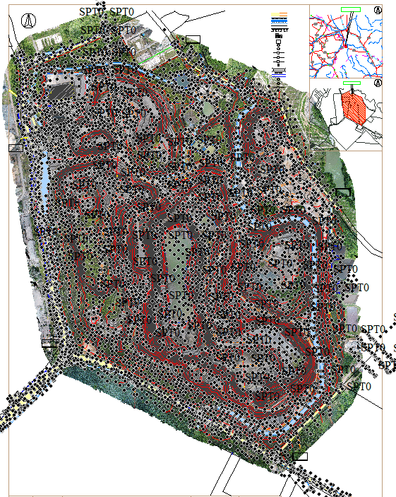
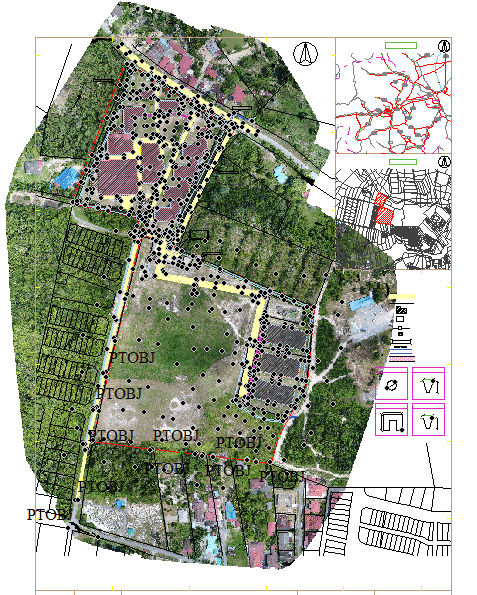
Accurate site reference
Suitable for land observation, boundary context and project presentation.
Visual project evidence
Clear aerial records for progress reporting and technical documentation.
Better decision view
Bird's-eye perspective helps teams understand site condition faster.
Need aerial mapping for your project?
Speak with Jurukur Teras for professional survey, mapping and geospatial support tailored to your project requirement.